eThekwini on high alert as SAWS issues Yellow Level 4 thunderstorm warning
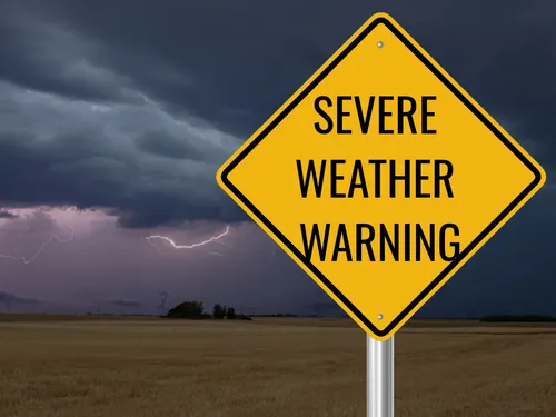
eThekwini disaster teams are on standby as severe thunderstorms, heavy rain, hail and lightning are forecast across much of KwaZulu-Natal.
EThekwini’s disaster management and emergency response personnel have been placed on high alert ahead of possible severe thunderstorms from midday.
This follows a Yellow Level 4 warning issued by the South African Weather Service (SAWS), forecasting heavy downpours, hail and severe lightning over most parts of KwaZulu-Natal, except the north-east. The weather service also warned that flooding was possible in some areas.
Flood-prone areas are being monitored by disaster management teams, with emergency personnel and equipment ready for rapid deployment wherever required, Arrive Alive reported.
"Our teams are closely monitoring areas prone to weather-related incidents, and resources are on standby to respond swiftly wherever they are needed. We urge residents to take the warning seriously and put their safety first," Disaster Management Director Vincent Ngubane said.
Rainfall patterns for Sunday, as forecast by SAWS.
SAWS also issued a Yellow Level 2 warning for severe thunderstorms and possible localised flooding over the eastern and north-eastern parts of the Eastern Cape.
Meanwhile, a heatwave with persistently high temperatures is expected over the Highveld, including northern Gauteng, parts of the Mpumalanga escarpment and the central Eastern Cape.
Polokwane and Upington are expected to reach 34°C, with 33°C forecast for Pretoria and 32°C for Johannesburg. The western parts of the country can expect much cooler conditions, with 22°C forecast for Cape Town and 19°C for George.
Extremely high fire danger conditions are expected over the central and eastern parts of the Northern Cape, as well as parts of the Free State and central North West.
Related Topics
Keywords
Related Stories
CONGRESS IN THE BALANCE: A blue tsunami, a tide, or chaos as usual — the US midterm election
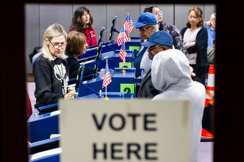
With just hours to go before the American midterm election takes place, the day before South Africa’s own local election, control of both houses of the American Congress hangs in the balance.
DIVISIVE WORDS: ‘We never called for literal killing’ — Malema appeals for farm killings to stop.
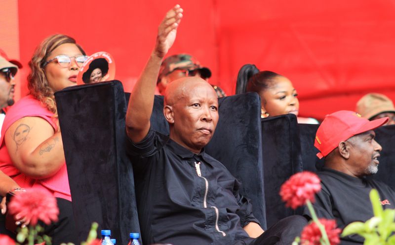
EFF leader Julius Malema says the chant “Kill the boer, kill the farmer” was never meant literally and has appealed for farm killings to stop.
TRC ROULETTE : Victims’ families place key hidden evidence before Khampepe inquiry
A physical inspection of old lever arch files by the legal team representing the families of apartheid victims at the Khampepe Commission strengthens Anton Ackermann’s claim that a disputed 2006 memo was forged, reshaping the Khampepe inquiry into delayed apartheid prosecutions.

REAL ESTATE & GOVERNANCE: How SA property prices reflect municipal service delivery
South Africa’s property prices broadly track municipal performance, with Cape Town leading and Buffalo City lagging, but several metros challenge the pattern.
Top Stories
CONGRESS IN THE BALANCE: A blue tsunami, a tide, or chaos as usual — the US midterm election

'We've got big problems' - Hamilton says Ferrari need 'serious talks'

Detroit linebacker Campbell taken to hospital with neck injury
DIVISIVE WORDS: ‘We never called for literal killing’ — Malema appeals for farm killings to stop.

Antonelli becomes world champion as Verstappen wins in Mexico
TRC ROULETTE : Victims’ families place key hidden evidence before Khampepe inquiry
REAL ESTATE & GOVERNANCE: How SA property prices reflect municipal service delivery

LOCAL ELECTIONS 2026: Thirteen mayoral candidates, plenty of blame and a crowd of fed-up residents
Latest
CONGRESS IN THE BALANCE: A blue tsunami, a tide, or chaos as usual — the US midterm election
'We've got big problems' - Hamilton says Ferrari need 'serious talks'
Detroit linebacker Campbell taken to hospital with neck injury
DIVISIVE WORDS: ‘We never called for literal killing’ — Malema appeals for farm killings to stop.
Antonelli becomes world champion as Verstappen wins in Mexico
TRC ROULETTE : Victims’ families place key hidden evidence before Khampepe inquiry
REAL ESTATE & GOVERNANCE: How SA property prices reflect municipal service delivery
LOCAL ELECTIONS 2026: Thirteen mayoral candidates, plenty of blame and a crowd of fed-up residents